P F Tinmore, et al,
Palestine
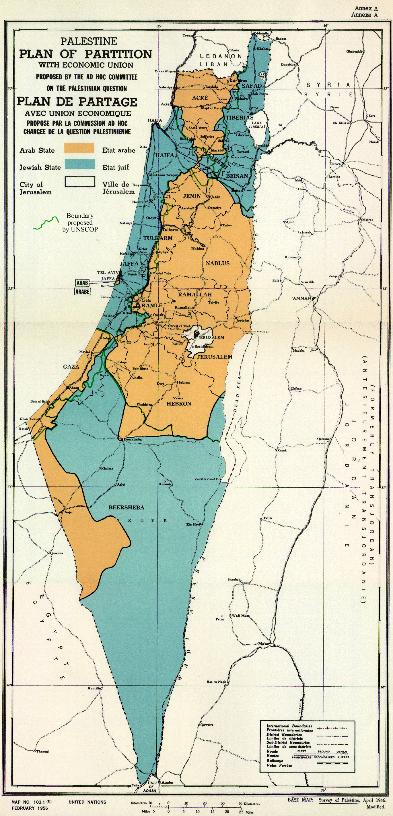
(within such boundaries as may be determined by the Principal Allied Powers) is officially defined by the territory to which the Mandate applies; it was not defined by the Arab and not defined by the Ottoman.
I think I explained the process before, several times.
Those were Palestine's international borders as defined in 1922, and valid in the 1946 map, and were still valid in the 1949 armistice agreements. Even Israel agreed to those borders in 1949.
The Mandate was a temporarily assigned administration that held Palestine in trust. It had no land or borders of its own. It is irrelevant to this discussion.
(COMMENT)
The territory to which Palestine Mandate applied was NOT decided in 1922 --- thus the border you describe was not fix yet. These borders were not decided by the Arab Palestinian, or any indigenous representative. They were not national boundaries. The boundaries were not final until 1924 with the last transfer from Syria.
The
Paulet–Newcombe Agreement or Paulet-Newcombe Line, also known as the
Franco-British Boundary Agreements, were a sequence of agreements signed between 1920-23 between the
British and
French governments regarding the position and nature of the boundary between the
Mandates of
Palestine and
Mesopotamia, attributed to Great Britain, and the Mandate of
Syria and the
Lebanon, attributed to France. The agreements fixed the line of the Syrian-Palestinian border
(now the Syrian-Israeli border) between the
Mediterranean Sea and the town of
Al-Hamma. The agreement takes its name from French Lieutenant Colonel N. Paulet and British Lieutenant Colonel
S. F. Newcombe, who were appointed to lead the Boundary Commission.
The boundary between the forthcoming
British and
French mandates was defined in broad terms in the 1920 "Franco-British Convention on Certain Points Connected with the Mandates for Syria and the Lebanon, Palestine and Mesopotamia", signed in
Paris, on 23 December 1920. That agreement placed the bulk of the
Golan Heights in the French sphere. The treaty also established a joint commission to settle the precise details of the border and mark it on the ground.
The commission submitted its final report on 3 February 1922, which included a number of amendments. It was approved with some caveats by the French and British governments on 7 March 1923, several months before Britain and France assumed their Mandatory responsibilities on 29 September 1923.
"The boundary between the forthcoming
British and
French mandates was defined in broad terms. That agreement placed the bulk of the Golan Heights in the French sphere. The treaty also established a joint commission to settle the border and mark it on the ground. The commission submitted its final report on 3 February 1922, and it was approved with some caveats by the British and French governments on 7 March 1923, several months before Britain and France assumed their Mandatory responsibilities on 29 September 1923. In accordance with the same process, a nearby parcel of land that included the ancient site of
Dan was transferred from Syria to Palestine early in 1924. In this way the Golan Heights became part of the
French Mandate of Syria. When the French Mandate of Syria ended in 1944, the Golan Heights remained part of the newly independent state of Syria."
Border with Egypt
The international border between the Ottoman Empire and the British Empire was drawn in 1906. According to the personal documents of the British colonel Wilfed A. Jennings Bramley, who influenced the negotiations, the border mainly served British military interests—it furthered the Ottomans as much as possible from the
Suez Canal, and gave Britain complete control over both
Red Sea gulfs—Suez and Aqaba, including the
Straits of Tiran. At the time, the
Aqaba branch of the
Hejaz railway had not been built, and the Ottomans therefore had no simple access to the Red Sea. The British were also interested in making the border as short and patrollable as possible, and did not take into account the needs of the local residents in the negotiations.
The
1949 Armistice Agreement between
Israel and
Egypt was ratified on February 24, 1949. The armistice line between these countries followed the international border except along the
Gaza Strip, which remained under Egyptian occupation.
The
Israel-Egypt Peace Treaty, signed on March 26, 1979 created an officially recognized international border along the 1906 line. A dispute arose over the marking of the border line at its southernmost point, in
Taba. Taba was on the Egyptian side of the armistice line of 1949, but Israel claimed that Taba had been on the Ottoman side of a border agreed between the Ottomans and British Egypt in 1906, and that there had previously been an error in marking the line. The issue was submitted to an international commission composed of one Israeli, one Egyptian, and three outsiders. In 1988, the commission ruled in Egypt's favor, and Israel returned Taba to Egypt later that year.
Egypt withdrew any claim to the Gaza Strip. The border between Israel and the Gaza Strip is subject to further negotiations.
Border with Jordan
The Israel-Jordan Treaty of Peace was signed on October 26, 1994. The treaty resolved territorial and border issues that were ongoing since the 1948 war. The treaty specified and fully recognized the international border between Israel and Jordan. Upon its signing, the
Jordan and
Yarmouk Rivers, the
Dead Sea, the
Emek Ha'arva/Wadi Araba and the
Gulf of Aqaba were officially designated as the borders between Israel and Jordan, and the border between Jordan and the territory occupied by Israel in 1967. For the latter, the agreement requires that the demarcation use a different presentation, and that it carry the following disclaimer:
"This line is the administrative boundary between Jordan and the territory which came under Israeli military government control in 1967. Any treatment of this line shall be without prejudice to the status of the territory."
(See:
Israel-Jordan Peace Treaty, Annex I, Israel-Jordan International Boundary Delimitation and Demarcation.
[18])
In 1988, Jordan withdrew any claim to the
West Bank. The border between Israel and the West Bank will be negotiated between Israel and the Palestinian Authority.
Border with Palestine
There has been no productive negotiations with the authorities in the State of Palestine concerning the establishment of borders. The PLO-Negotiations Affairs Department sees the 1967 border (not further identified) is the internationally-recognized border between Israel and the occupied Palestinian territories.
Most Respectfully,