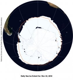
No place on the fringes of Antarctica has warmed with the swiftness of the Antarctic Peninsula, a crooked, 900-mile finger of land that juts toward the tip of South America. A 60-year temperature record on the northwestern Antarctic Peninsula, taken at a research base originally built by the British and now run by the Ukrainians, paints a stark picture: Winter temperatures have increased by 11 degrees F and annual average temperatures by 5 degrees F. Ninety percent of 244 glaciers along the western Antarctic Peninsula have retreated since 1940. Sea ice now blankets the Southern Ocean off the western Antarctic Peninsula three fewer months a year than in 1979, according to satellite data.
The Warming of Antarctica: A Citadel of Ice Begins to Melt | Reuters
The Warming of Antarctica: A Citadel of Ice Begins to Melt | Reuters