Sunsettommy
Diamond Member
- Mar 19, 2018
- 14,896
- 12,529
- 2,400
Watts Up With That?
How Busy Was the 2020 Hurricane Season?
December 11, 2020
by Neil L. Frank
Excerpt:
The 2020 Atlantic hurricane season, with 30 named storms, is going down in the record books as having the most named storms of any season on record. But are we comparing apples and apples—or apples and oranges?
Some people blame the recent increase in named storms—tropical storms and hurricanes—on global warming, and infer that we must stop spewing CO2 into the atmosphere to curb the warming and so prevent the increase in storms and the damage they cause.
But the raw data for hurricane history is contaminated by changes in observing tools, in our understanding, and in the philosophy of whether a storm should be named. What explains the increase in named storms? Was it an abnormal meteorological event, or are there other explanations? To answer this requires some discussion of the origin of Atlantic storms.
How Do Atlantic Storms Begin?
LINK
============
It appears that 1933 is a peak year for true tropical and hurricane storms.
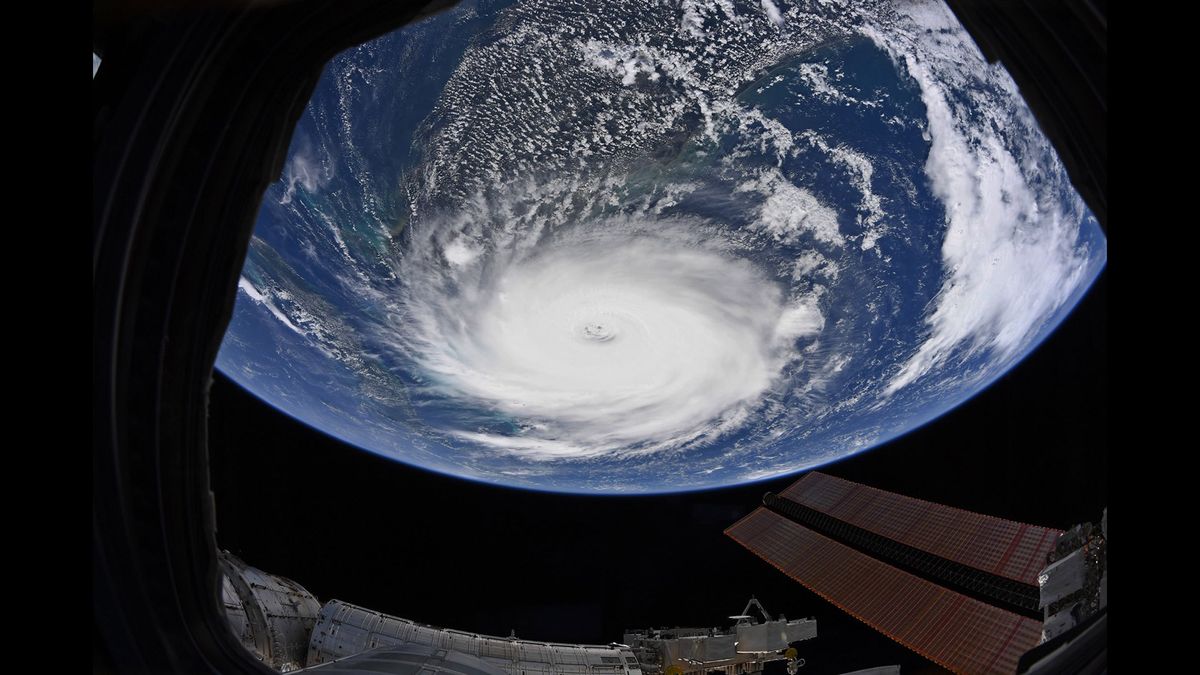