Try not to contribute any more than I have to, but I do not favor radical change the sake of global warming. As for the polar shift, it is a very slow process, not to worry about as they already are used to updating the GPS and other satellites. Probably harder reprinting to update topo maps for changes to declination angle, but few of us bother any more with that type of navigation or point locating, as we depend on the satellites.
The commonly used term is "deviation" when it comes to magnetic compasses.
Probably true at least in Navy, but I was never navy. Declination angle is listed in the marginal information of decent topographic maps and represents difference between true north or magnetic north and map or grid north. Handy to know if you shooting a resection from two known points to your exact location. Then it becomes a matter of the back azimuths and working the math, as distance to known points can be a tricky thing without a laser or parallax range finder. Like I said, less important today when you can whip out an Iphone and get your latitude/longitude, elevation without bothering with old school techniques, that is unless your battery is down, or like any other tool you have found a way to break it or lose it when you are temporarily dis-oriented. Notice, I didn't say lost, I don't get lost.
Magnetic declination, per Wikipedia
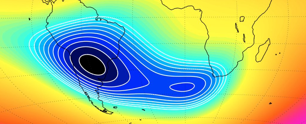
Magnetic declination, or magnetic variation, is the angle on the horizontal plane between magnetic north and true north. This angle varies depending on position on the Earth's surface and changes over time.
Wikipedia