Geography
See also:
Volcanic crater
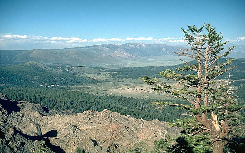
The caldera is a giant bowl-shaped depression, approximately 20 mi (32 km) wide, surrounded by mountains except to the southeast. The elevation of the bottom of the bowl ranges from 6,500 to 8,500 ft (2,000 to 2,600 m), being higher in the west.
[2]
Near the center of the bowl, there is a
resurgent dome formed by
magmatic uplift. The southeastern slope from the caldera down towards
Bishop, California, is filled with the
Bishop Tuff, solidified ash that was ejected during the eruption that created the caldera. The Bishop tuff is thousands of feet thick and is cut by the
Owens River Gorge, formed during the Pleistocene when the caldera filled with water and overtopped its rim.
The rim of the caldera is formed from pre-existing rock, rising about 3,000 ft (910 m) above the caldera floor.
[2] However, the eastern rim is lower, only about 500 ft (150 m).
[2]
Mammoth Mountain is a
lava dome complex west of the structural rim of the caldera,
[3] consisting of about 12
rhyodacite and
dacite overlapping domes.
[2][4] These domes formed in a long series of eruptions from 110,000 to 57,000 years ago, building a volcano that reaches 11,059 ft (3,371 m) in elevation.
[5]
The
Mono–Inyo Craters are a 25 mi (40 km)-long volcanic chain situated along a narrow, north–south-trending fissure system extending along the western rim of the caldera from Mammoth Mountain to the north shore of Mono Lake.
[6] The Mono-Inyo Craters erupted from 40,000 to 600 years ago, from a magma source separate from the Long Valley Caldera.
[7]
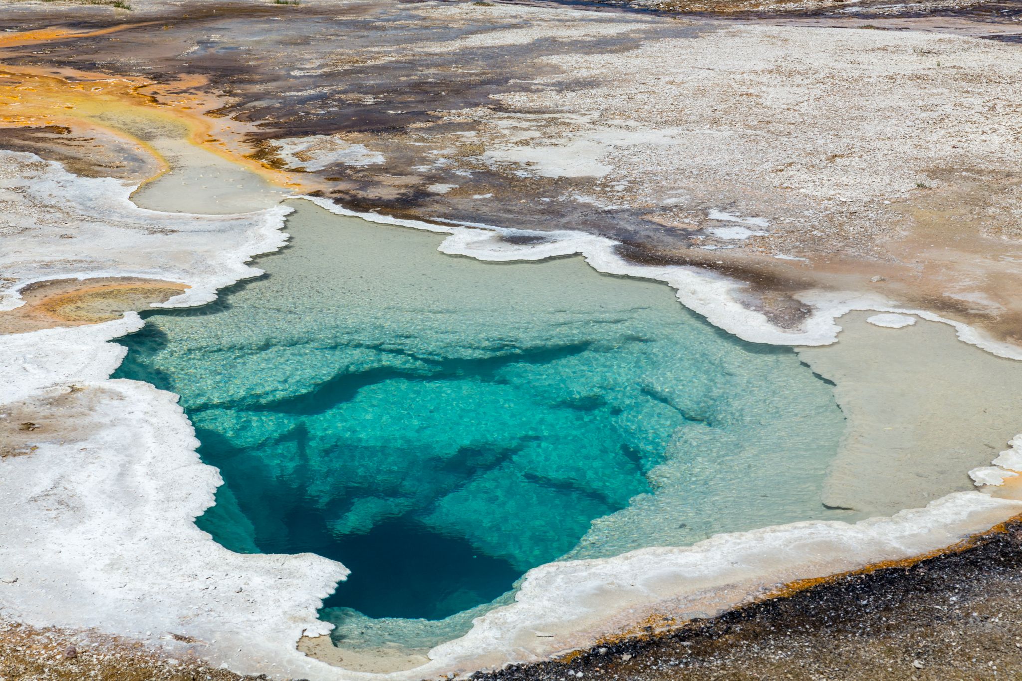
The caldera has an extensive
hydrothermal system.
Casa Diablo Hot Springs at the base of the resurgent dome hosts a
geothermal power plant.
Hot Creek cuts into part of the resurgent dome and passes through hot springs. The warm water of Hot Creek supports many trout, and is used at the Hot Creek Fish Hatchery.
[8] The creek was closed to swimming in 2006 after
geothermal activity in the area increased.
[8][9] There are a number of other hot springs in the area, some of which are open to bathers.
Geology
Caldera
The tectonic causes of the Long Valley volcanism are still largely unexplained and are therefore a matter of much ongoing research. Long Valley is not above a
hotspot, such as those which fuel
Yellowstone Caldera or the volcanoes of
Hawaii; nor is it the result of
subduction such as that which produces the volcanism of the
Cascades.

en.wikipedia.org