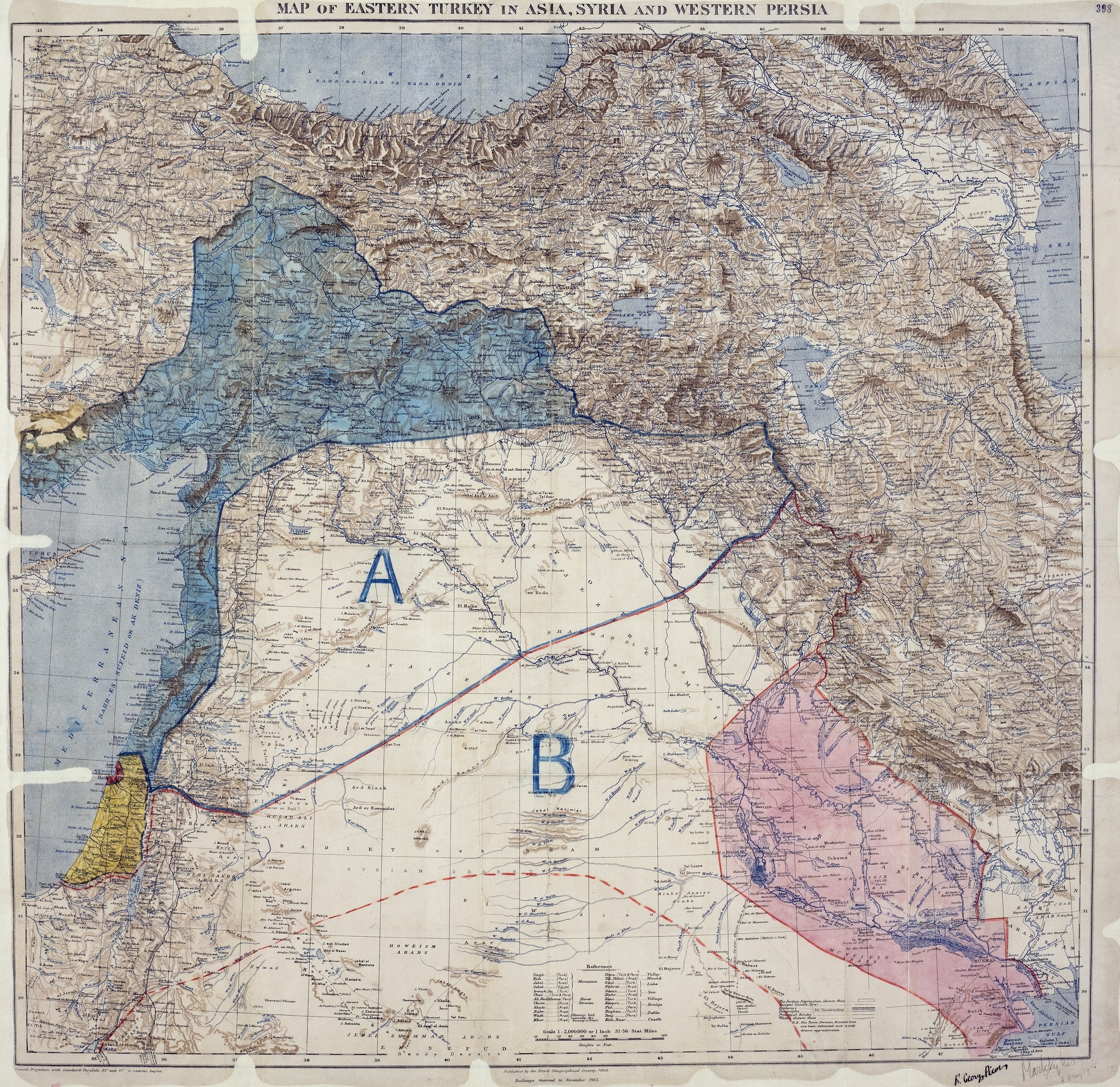
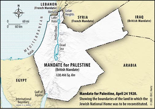
The Hasbara types post cartoon maps hoping to manipulate the useful idiots into thinking that somehow European colonists that intended to dispossess the native population of Palestine were somehow short changed because more land was not set aside for dispossession from the native people. How crazy is that? Then they apparently don't realize that there are real maps drawn in support of the various agreements contemporaneously, that demonstrate that maps drawn in 2005 by Hasbara types are, in fact, Hasbara maps. Either they are cretins to think that people with far more knowledge don't have access to the facts, or they hope to convince weak minded people that their cartoon maps actually present the facts. Now here is how the Allies divided the expectant spoils in 1916. Notice what constituted Palestine and what constituted the Arab areas A and B. This is not a cartoon map, it is the treaty map.
https://upload.wikimedia.org/wikipe...kes_Picot_Agreement_Map_signed_8_May_1916.jpg