if you re-read my post, and think more clearly, you will get the meaning of what i saidhow about as close to geographic lines as possible taking into account city/county lines
Who gets to place the lines? It has to be based on population - each district to represent a certain amount of people. County lines don't do that - one county could have 5 times as many people as the next one.
Whoever gets to place the lines has an advantage. That's what Gerrymandering is.
of course districts have to be population based
but how about drawing those lines using city/county lines as guidelines and geographic lines as well
granted you will not ALWAYS be able to draw the lines and stay withn the others, but at least TRY and lets not make a district that has parts that dont even touch each other
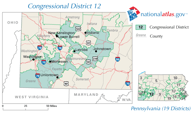
In Georgia it is give and take amongst the parties. Leave the black areas alone and they give into the Republicans. My district is 90 miles long and a half mile wide in some areas. Looks like a a snake.