Billy_Bob
Diamond Member
WOOOOOHOOOOOO..
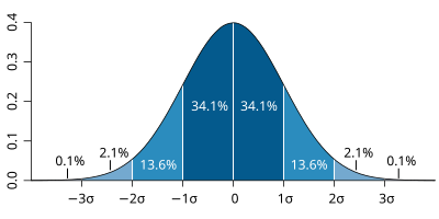
At long last calibrations are now completed with the new polar orbiting satellite and the last years data has been remaksed with the corrected algorithm.. Sea Ice bounces back into 2STD ranges and right where empirical observations say it should be.. Alarmists will not be happy!

Finally some decent data that reflects reality...
At long last calibrations are now completed with the new polar orbiting satellite and the last years data has been remaksed with the corrected algorithm.. Sea Ice bounces back into 2STD ranges and right where empirical observations say it should be.. Alarmists will not be happy!
Finally some decent data that reflects reality...