Pacific Ocean smackdown: El Niño vs. Polar Vortex?
"The warming, called an El Niño, is expected to lead to fewer Atlantic hurricanes and more rain next winter for drought-stricken California and southern states, and even a milder winter for the nation's frigid northern tier next year, meteorologists say."
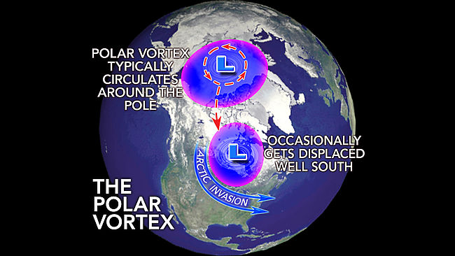
You didn't read your article, did you. You just went with the title. I'm afraid it does not support your contention. Care to have another shot at it? How do La Nina conditions affect the polar vortex?
") Sure some ensembles do but if this occurs = 2016 probably beating 2015 in temperature.
Sure some ensembles do but if this occurs = 2016 probably beating 2015 in temperature.