Moscow´ll denounce the USSR-USA "Shevardnadze-Baker agreement" on maritime boundary of the Bering Strait, to advance territorial claims against US

Litwin

Platinum Member
Sep 3, 2017
32,693
4,886
1,015
GDL&Sweden
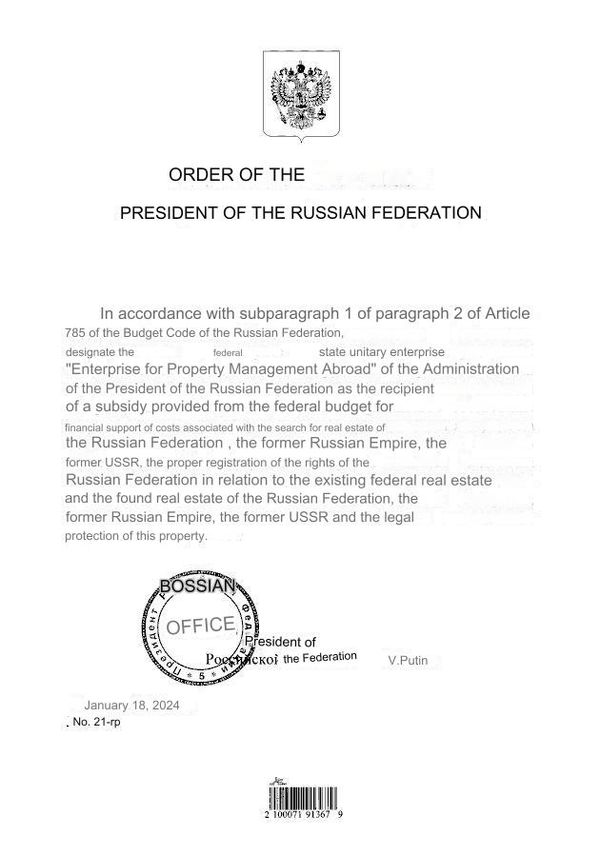
Moscow has denounced the USSR-USA "Shevardnadze-Baker agreement" on maritime boundary of the Bering Strait, and to advance territorial claims against the US in this regard.

QUESTION TO OUR MAGA/Marxist/Nazis members, Will you fight A WAR WITH MOSCOW EMPIRE for Alaska OR& Northern California ? or you like Trump said many times you want to make a sweet deal with Moscow tsar
🇷🇺
🇸🇦
putin ?


View attachment 906286


This X post is fake. The document did not mention Alaska or any other territory formerly owned by Russia that was sold "illegally" to the US. Here is the accurate translation of the document.

google_translate_putin.jpeg


The need for the maritime boundary arose with the introduction of the 200-mile limit by the United States and the Soviet Union. The United States proposed using the 1867 Alaska line because it understood that to be the likely Soviet position. [3] The 1990 delimitation was complicated since neither side could produce the maps used during the original Alaska purchase negotiations. Furthermore, the two sides agreed that the boundary was intended to be a straight line on a map, but they did not agree which map projection was used: Mercator or conformal. This resulted in about 15,000 square nautical miles (51,000 km2) of disputed area. The 1990 line split the difference between the two lines and introduced several "special areas", which were beyond the 200-mile zone, but in which the sides ceded their rights to the opponent. Many in Russia have criticized Mikhail Gorbachev and Edvard Shevardnadze for rushing the deal, ceding the Russian fishing rights and other maritime benefits, but so far both states have respected the line agreed in 1990. The United States continues efforts to enforce the boundary line against the encroaching Russian fishing vessels, in order to build up the evidence of "general state practice" that the 1990 agreement is indeed the marine border between the two countries.[4]

 
Last edited:
This X post is fake. The document did not mention Alaska or any other territory formerly owned by Russia that was sold "illegally" to the US. Here is the accurate translation of the document.

google_translate_putin.jpeg


The need for the maritime boundary arose with the introduction of the 200-mile limit by the United States and the Soviet Union. The United States proposed using the 1867 Alaska line because it understood that to be the likely Soviet position. [3] The 1990 delimitation was complicated since neither side could produce the maps used during the original Alaska purchase negotiations. Furthermore, the two sides agreed that the boundary was intended to be a straight line on a map, but they did not agree which map projection was used: Mercator or conformal. This resulted in about 15,000 square nautical miles (51,000 km2) of disputed area. The 1990 line split the difference between the two lines and introduced several "special areas", which were beyond the 200-mile zone, but in which the sides ceded their rights to the opponent. Many in Russia have criticized Mikhail Gorbachev and Edvard Shevardnadze for rushing the deal, ceding the Russian fishing rights and other maritime benefits, but so far both states have respected the line agreed in 1990. The United States continues efforts to enforce the boundary line against the encroaching Russian fishing vessels, in order to build up the evidence of "general state practice" that the 1990 agreement is indeed the marine border between the two countries.[4]


Forum List

Back
Top