teddyearp's 2015 Israel trip

teddyearp

Gold Member
Jun 9, 2014
4,796
1,018
255
Pinetop, AZ
Yes, it had taken me this long to finally complete this. It was discussed and asked for in this thread while I was in Jerusalem here:

In Jerusalem Israel now. US Message Board - Political Discussion Forum

My only quandary was that there was a comment or two that suggested it should be posted in the Travel section; heck I don't know. The travel section asks for pros and cons, and this section is about the I/P conflict. Well, for the mods, I made comments in the thread linked above that may or may not have relevance to me posting this thread here.

If it needs to be in the Travel section, then I will say that anyone that has ever thought about going to Israel should go. Just go. The only thing that would stop me from going would be all out fighting in the streets; otherwise, it is a very safe country, and a very interesting country; one that will get under your skin and make you want to visit again and again.

That said and without further ado, here's my picture report:

So I took a trip to Israel this year. Landed at Ben Gurion on April 19, 2015 and left on May 2, 2015. I made some posts every day over at tripadvisor.com which serves as a daily journal; this, my picture report is compliled afterwards for posting elsewhere since tripadvisor doesn't/isn't configured for posting pictures inline with your narrative. Perhaps I will/should post links to my trip report/journal at tripadvisor.com to help sprinkle some more seasoning on this.

And just for kicks, here is the first post of my 'journal'. Each one has a link to the next installment and vice/versa:


On my way - Israel Forum - TripAdvisor


*Saturday, April 18, 2015. On my way, I had to layover at Newark so here's the big picture of the big apple:


And here's a 'closeup' of WTC II:


I stayed the first night (Sunday, April 19, 2015) in Tel Aviv, then the next morning I rented a car to head towards the Galilee. My plan(s) were to go to the Meshusim pool (known localy as the hexagon pool), then see the Arbel cliffs and then head to my hotel in Tiberius.
 
*Monday, April 20, 2015. Heading out. Highways are just fine in Israel:


Coming up on the city of Netanya:


For all those who think Israel is nothing but a desert, it is not:


Hmmm, I think somebody does not like to see "Tiberius" written in Arabic:


Dropping down towards Tiberius:


After checking into my hotel and storing some of my luggage, I headed off to the north. Again, there is much of Israel that is green:


Mmmmm, dirt:


Now, I should explain about me. I am an overweight, under exercised, beer drinking red blooded American. The following picture is looking down into the canyon where I planned on going. The trail is 3km round trip. Down and back up again. At the very first it seems mild, but soon it turns into very steep stair steps made out of rocks. Not like stairs in a building that are even. Many times I stopped and asked myself, should I continue? But as many times I told myself I had flown half way around the world and I was this far already, may as well continue. Here's the picture that shows the canyon, but doesn't do justice to the steepness of the trail:


Don't know how well this will show but a pano from the lookout:


I rested a few times on the way down (those were the times where I was asking myself WHY??), but I made it. Here's a couple, first, a flora picture:


Now for some of the bottom and the pool:


Now on the way back up I didn't take any pictures. I wish I would have taken at least one of the steps, but I have none. Just too much huffing and puffing and resting and hydrating. Up on top and on the way out I did see some wildlife:


My next stop was the Arbel cliffs. They look out over the Sea of Galilee near Migdal (near the former Magdelene). Plenty of hiking to be had there too, but my legs already felt like rubber. On the way looking up:


On top looking down:


The 'money' shot:


A big shot of the Kinneret (What the locals call the Sea of Galilee):


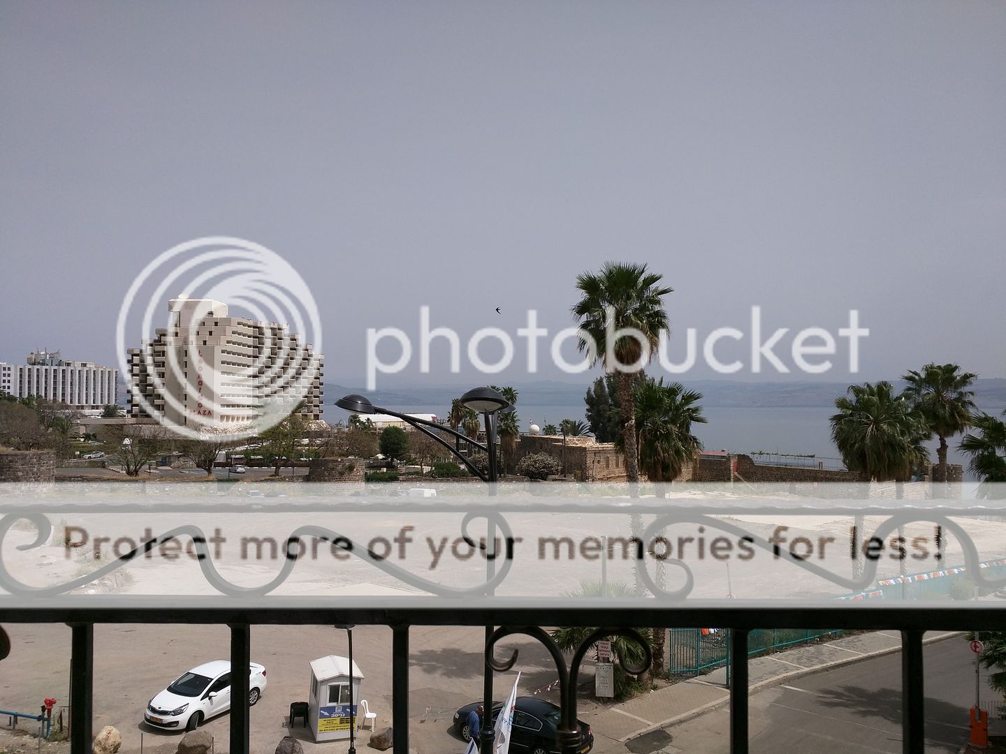
Afterwards I headed back to Tiberius to my hotel room to just kick it for the rest of the afternoon/night. Here's looking out my balcony:


*Tuesday, April 21, 2015, I was off to further north in the Golan heights. Mt Bental was my first stop, it is right on the border with Syria, but has awesome views. If it was not safe to be near the Syrian border, there would have been roadblocks keeping me from getting up there. It was also here where the largest tank battle happened during the 1973 Yom Kippur war when the Arabs attacked Israel during one of their most holy holidays.


On the way. Israel is not at all just one big desert like some would think:


That's where I'm headed:


On top, there's a bunch of 'wreck' art on display that you can actually get a hold of the artist and buy and have shipped home if you wish:


These are not for sale at any price:


Syria down there:


Mt Hermon in Israel over here in the distance. And yes that is snow on it:


A couple of UN 'observers' up on the mountain:


As you can see there are some trenches and bunkers up there, and basically still in use somewhate. One of the trenches, note the bullet holes:


Entrance to an old bunker:


Afterwards, I headed further north to the site of banias springs, the site of the ancient city of Pan and Caeserea Philipi. On the way I took a couple out the windsheild shots:


Yes, this is Israel. My car:


Looking off into Lebanon in the distance:


Ok, this is part of the headwaters of the Jordan river. This stream comes right out of the side of the mountain.


Temple this way:


Writing in the sand, basically quoting the verse in the bible where Jesus asks who his disciples think he is:


They say that the springs used to come out of this cave and that is why the ancients built the city here. Earthquakes over the centuries moved the springs lower down the side of the cliff. Cave:


Temple parts:


One of my favorites:


Afterwards, I decided to take an easy hike down stream a bit and would up going through the ruins of Agrippa's palace. this is a look back towards the source of the stream. Where you do not see the water is right where it is coming out of the hillside:


Nice little walk through the woods:


Going under the highway. Just built it over this roman arch, standing the test of time:


Wandering around inside 'grippa's palace:


Afterwards, I was off driving down the road a couple miles to check out the waterfalls for this stream. It too was down in a canyon and at first I was, "Oh no not again", but it wasn't as far nor steep and the steps were much easier. My legs were still sore. Starting out:


Down at the bottom, they have a trail that is basically a long 'walkway' suspended over the stream by cables and such from the side of the canyon:


The actual falls:


I don't know if the pictures do the justice, but the water just seemed to be a shimmering clear blue. Next stop, well I didn't quite know. It was too early yet, so I figured to make a side stop in the town of Safed. It is a mountainside town that has a bunch of interesting alleyways and stuff to see, but I couldn't really find much in the way of parking. Only took a picture or two:


Time to head back to Tiberius for food and drink. Had to snap a pic of one of the tourist boats out on the Kinneret:


Now this year, April 21 evening signifies the begining of Israel's memorial day. At 8:00 pm a siren sounds and everyone stops driving, pulls over and stands by their car. I believe this picture shows it or just before:


Here's my cell phone video:


*Wednesday, April 22 I checked out of my hotel in Tiberius and drove on up to Jerusalem. I drove the long way around the Sea of Galilee and stopped near the church of fishes and loaves to look for a site called Job's spring. didn't find it, but here's a peek from the north shore of the Kinneret:


There's not too much of interest driving through the Jordan Valley on the way to Jerusalem. However, another siren sounds at 11:00 AM for Memorial day and so a couple minutes before, the music stopped on the radio and some real serious sounding guy started speaking in Hebrew. I looked behind me and the car behind starts to pull over, so I did too. Sure enough the siren sounded and we both stopped and got out of our cars. A couple other cars stopped as well. No pictures, but interesting custom and glad that I honored it.


My trusted nav device (Motorola Nexus 6 with an Israeli SIM card) running Google maps:


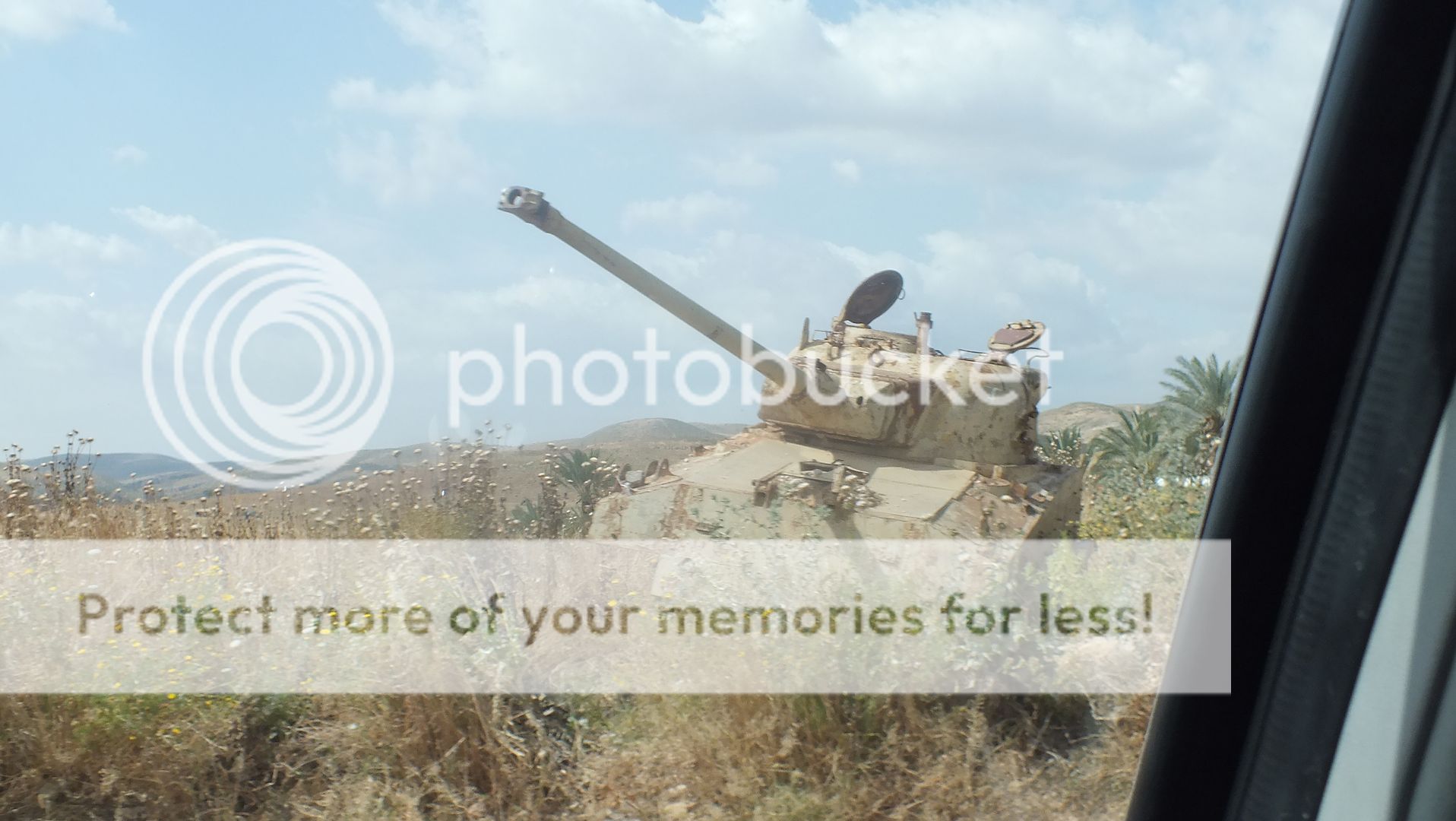
Free tank, you haul:


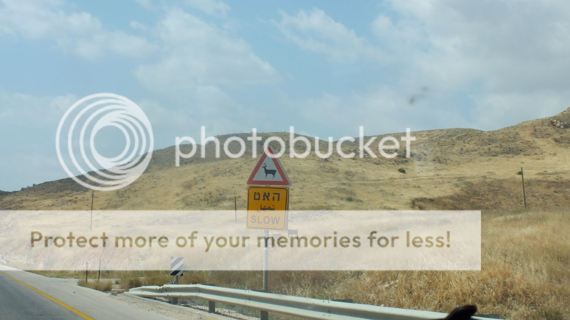
Guess you gotta watch out for the wildlife there too:


Further down the road there's a turn off that goes to Jericho, but you cannot take an Israeli rental car there:


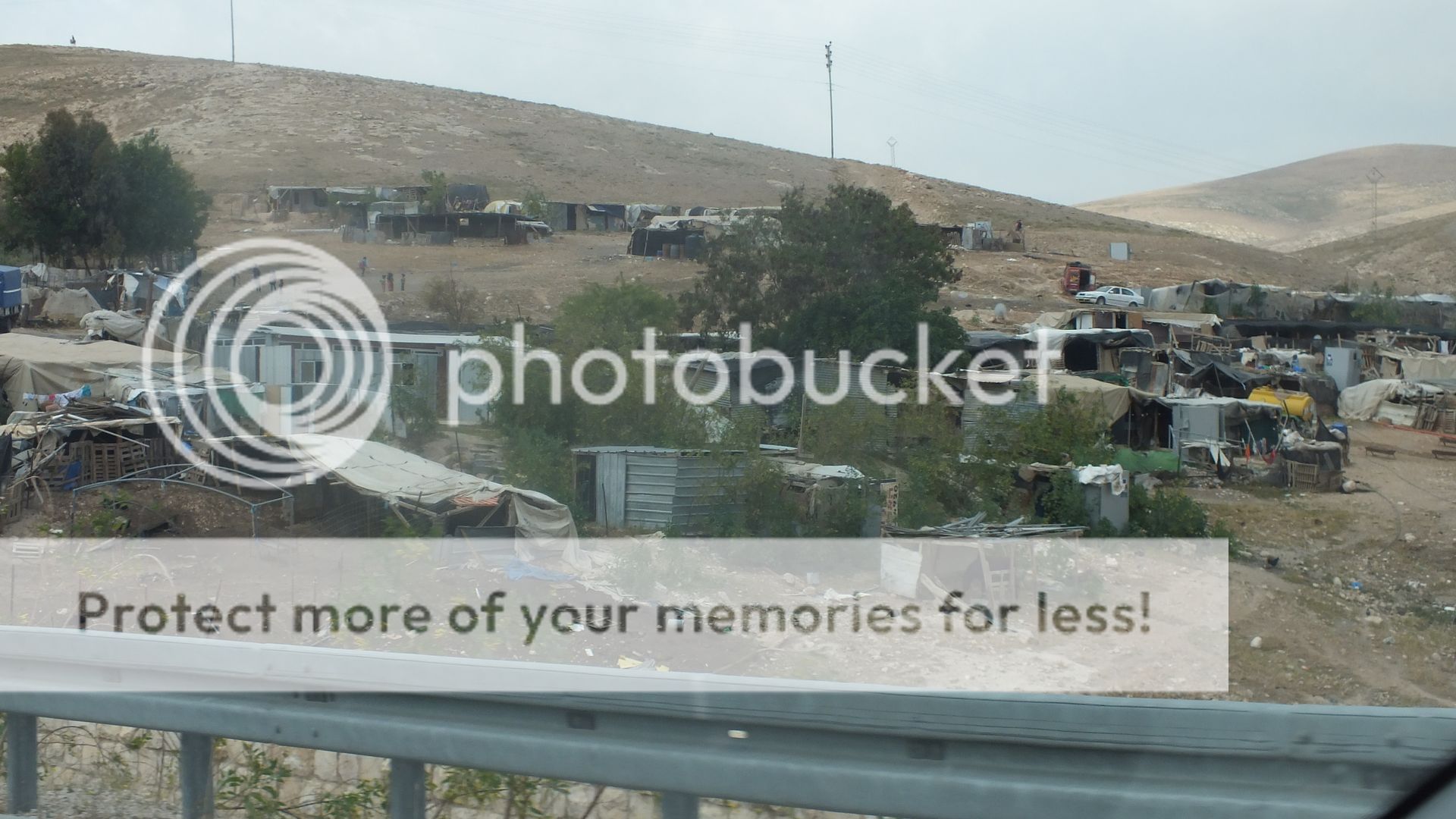
Further up towards Jerusalem (east of) there are bedoiun camps:


Once I entered Jerusalem, the traffic gets a bit hectic, but I snapped a quick pic of the Old City on my way to turn in my rental car, this shows the Al Askya Later mosque:


I returned my Eldan rental car to the King David branch and then took a taxi to my apartment on King George St to wait for Independence day to start. The interesting thing about Memorial Day and Independence day in Israel is that they are consecutive. Memorial day is fairly somber, and Independence day is festive. But the really different thing is that the 'days' change at sundown. So things were a bit slow in Jerusalem when first I arrived, though I was able to go shopping for 'stuff'. However, there were preperations down the street from my apartment. I could hear sound checks going on (like for a live band). Then around 7-8 pm the siren sounded the change from Memorial day to Independence day and the streets started to fill up and the celebrations began. Before:


The beginnings of after:


Down on Ben Yehuda street, things are picking up:


And then at the City Center stage, the band is starting to rock:


Somewhere around 9 or so there was a fireworks show. Here's a bit I put up on youtube (you can hear the band down the street as well:


*Thursday, April 23, 2015. Ahh, Jerusalem. The center of the world as some say. My trip in 2011 was too hurried and now I can slow down and just . . . . ahh. I had only booked a tour at the City of David site to ascend the 1st century tunnel to the Temple Mount. Area. It is very difficult for the Israeli's to do much archeological investigating in the Old City and especially near the Temple Mount, so this is a tunnel under the old 1st century street that may have been used by 1st century folk to get to the Temple. This also starts at the City of David historical/national park; as it is said that the city that David built was to the south of Mt Moriah. It was still to the west of the Kidron valley and built in a southerly direction. Which is now in an area considered in East Jerusalem called Silwan. Kind of a contested place. Anyways, I visited the City of David in 2011 and that is also where the Gihon Spring is and Hezekiah's tunnel was built to channel the spring to the Pool of Siloham. The tunnel was built a couple thousand years ago just like some in Virginia City were built a little over a hundred years ago. One crew starts at one side and another at the other side. Just like in Virginia City, over two thousand years ago, the two crews met in the middle within inches of each other. Well during that visit in 2011 I saw across the street some excavations, and that is where this tour led me to. Apparently there used to be a parking lot for the City of David there, but they found that there was much more to be seen if they dug it up, than to just let cars park there, lol. My pictures for this tour start there:


The above is looking to the south and they say there are a few different 'layers' here. To the left is the 'entrance' or exit back to the street where you would cross into the City of David site proper. This one shows the view towards the 'entrance'/'exit':


The actual tunnel is pretty narrow:


This tunnel runs under a 1st century street that led from the south up to the Temple Mount, however apparently there was too many politics involved to be able to excavate the street, yet they could excavate the 'street' below the street. Go figure. Here's a portion of the Western Wall that is under ground and actuall near the southwest corner of the Temple Mount:


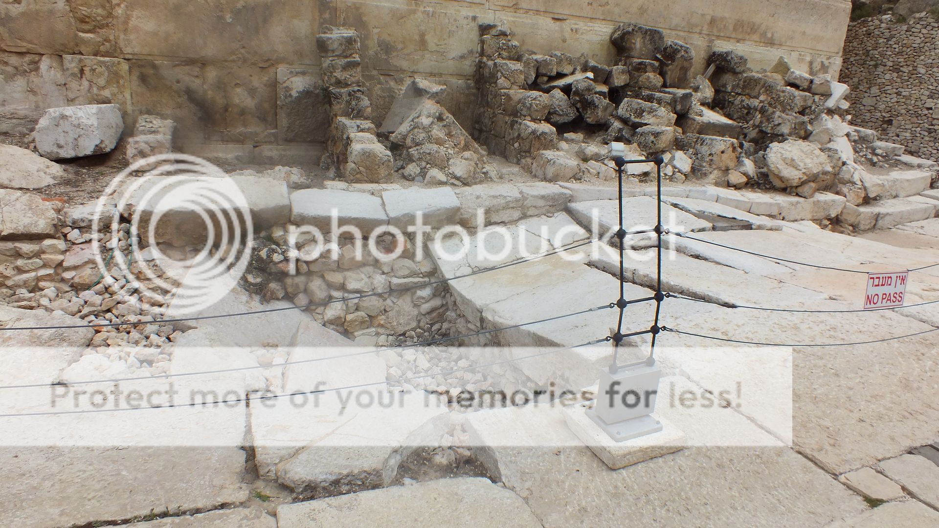
After we climbed back out of the tunnel we are now at the southwest corner of the Temple Mount. Here you can actually see the 1st century street, or a portion thereof:


Another shot, also showing some of the stones thrown off the top during the destruction in 70AD:


Afterwards, I made my way to the southern wall/portion of the Temple Mount and took a couple few more pics. Here's going around the corner:


On the southern wall/approach there are many stair steps of verying age. Looks like I didn't upload all of them. Also, something to note is something I do not have the time to remember and post. Once the Mooslums decided to create Jerusalem as the site of the Al askya Later 'mosque', they did some of their own 'renovations' on the Temple Mount. It is not well shown here, but as you go up, the blocks get smaller and smaller since they were added later and later in time after the subsequent destructions and rebuildings. but near the top, to the west of the Al Askya later 'mosque' they have built a 10,000 sq ft under ground mosque without regards for the material they removed. That is shown in the windows near the top:


Now, back to the fact it was Independence day, there were quite a few flyovers. I missed the ones with the fighter jets because of their speed and the bit of cloud cover. Yeah, it was almost cold, in fact it rained a bit during this day, sometimes quite hard. So here's the flyovers I did get:


Oh wait, here's another one or three of the southern steps:


Afterwards, I made my way through the Western Wall plaza and then back to my apartment.
 
*Friday, April 24, 2015. Today I went to Yad Veshem, or the Holocaust Museum. They say that going to Yad Veshem can be quite an emotional experience and that is why I decided to do it on a Friday in Jerusalem. The end of the day on a Friday in Israel is the start of the Sabbath (or Shabbat as it is called), or the Jewish 'weekend'. As the day winds down, so does the whole city in preparation for the day of rest on Saturday. I figured it would be fitting to go to Yad Veshem and then reflect and wind down my day with the rest of the Jerusalemites.

Another thing of note is that cameras are not allowed there, but I did take my cell phone. And yes, I did take some pictures, forgive me. My 'excuse' was I saw someone else with a camera in there taking multiple pictures all over the place; me I just took a few 'stealth' ones with my cell phone. I know that is no real excuse, nor justification for the slight amount of lack of respect I suppose, so forgive me.


So, here's a few of my 'stealth' pictures. Not this first one, it was taken outside on the grounds (note again, that Israel is not one big desert):


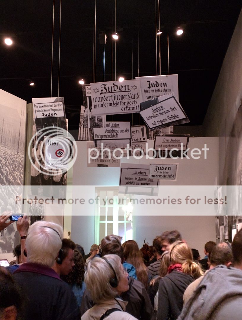
Now to inside:


This picture shows some of the figurines that were used to stereotype the Jews at that time, not only in Germany, but many other parts of Europe:


I'll let a few more just speak for themselves:


Yes. The last one above is a board game based upon Monopoly. The remains of one of the rail cars:


A bunk from one of the camps:


This need little explanation:


It was just when I 'stealthed' that last picture that a nice Israeli girl 'caught' me and reminded me that no pictures were allowed. So I waited until I was outside to take any more:


Afterwards I took the light rail back to the center of town and back to my apartment. Took a couple of pictures from my balcony, people watching and stuff:


Any other evening in Jerusalem on King George Street, the street would be filled with much more people. You just have to be there and experience it to . . . . understand.
 
*Sunday, April 26, 2015. After taking a day to totally recharge, I was ready to go off and do some more exploring. I had a Jerusalem.mp3 'tour' of Mt. Zion and the Jewish quarter loaded up on me phone so off I went to see those parts of the city. Took a cab to Mt. Zion. The Mt. Zion area is just outside the Zion Gate of the Old City of Jerusalem. It contains the traditional site of the Last Supper.


Here is a picture of the Zion Gate. There was fierce fighting here in 1948 and 1967 as can be seen with the pock marks:


A few of the "Upper Room":


Notice that when the Moslems came later on they had to make their own 'mark':


There's a lot of cool old thingsto take pictures of around here. This is one:


My trip was sort of interupted by some one who claimed to be helpful. He also claimed to be 'more' than a tour guide later. He instisted that I go with him as (according to him) I was in areas I shouldn't be in. He also claimed that he was going to show me things that I wouldn't see on my own. I asked him early on, "How much is this going to cost me?" and he sounded offended and claimed he was only doing it as a friend. But at the end of the day, that is what he wanted. Money. And as much as he could get. I did give him about 200 shekel (~$50) just to get him off my back because I guess I am an easy mark sometimes. Much more than I should have, but when I ran into him later after ditching him, then I just about beat him down and/or turned him over to the police. A tour guide in Israel is supposed to wear a badge around their neck; he simply had none. Anyways, enough with that.


Here's a few pics of the day, with and without the 'guide' who called himself 'Neal'.

The traditional site of King David's tomb (not at all realistic, but not Neal's fault):


Schindler is buried in the Jewish quarter of the old city and here is his grave:


Now in 1967 during the Arab invasion Jordan won and evicted all the Jews from the Old City, here is the square where it all ended:


Opposite:


After Israel regained control of the Old City in 1967 they were able to come back to the Jewish quarter, only to find that the Jordanians had pretty much destroyed all the buildings, so they decided to do a bit of digging around before rebuilding. Here is the south end of the Roman 'Cardo' that cut through the old city straight north-south from the Damascus gate in the North:


Now just for kicks, in the lower left of this picture is my 'buddy' Neal. If you are in Jerusalem and see him, go the other way:


The only thing he did show me was the Little Western Wall:


After I finally ditched the guy I mosey'd back through the old city to see parts of the Jewish quarter on my own as I had started to. Here's a bit of the Christian quarter:


Courtyard in front of the Church of the Holy Sepulchure:


Along the way near the Jaffa gate I snapped this picture:


Yup, the girl in blue is packin'! Obligitory flower pic:


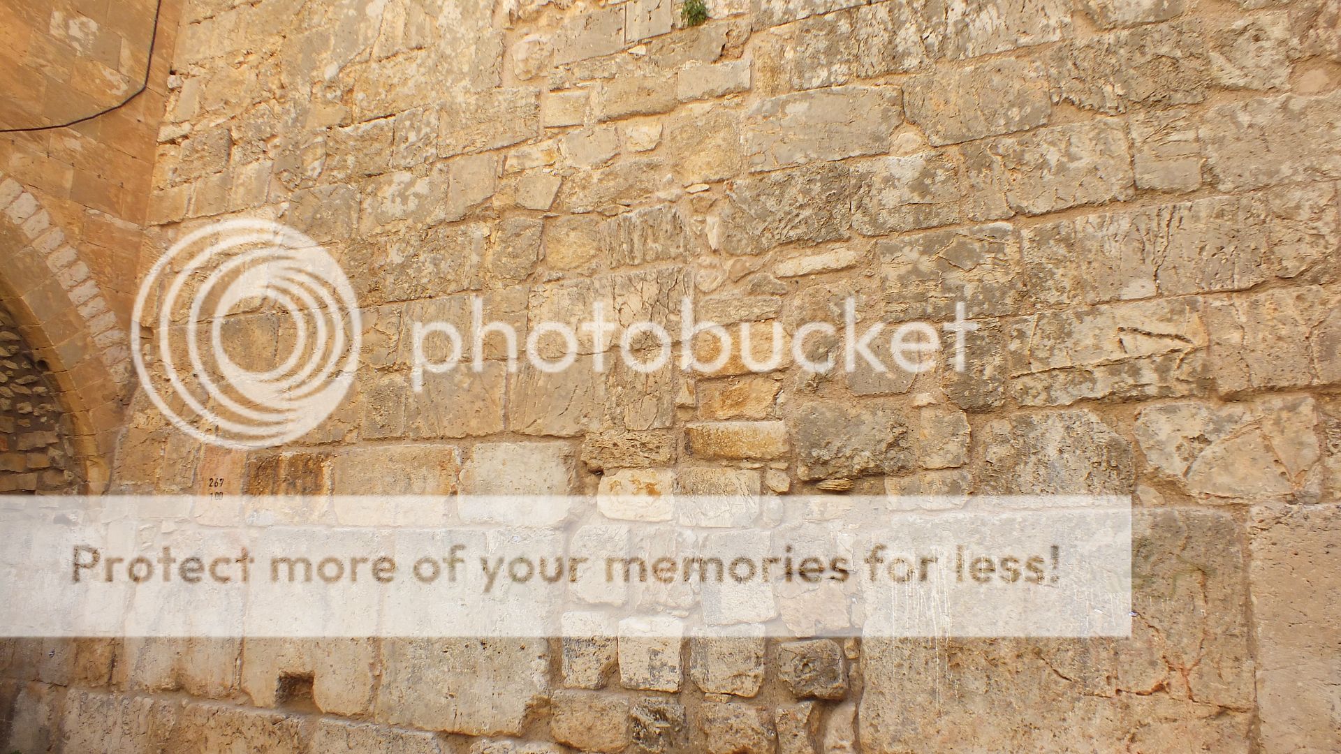
Some of the different layers in the Old City walls. Looks like we have gotten less and less since the bigger blocks are on the bottom.


*Tuesday April 28, 2015. I had a tour booked for the "Kishle" which is a newly discovered excavation under the Tower of David museum by the Jaffa gate. It wasn't until "11:00" (lol) so I figured I'd go up on the Temple mount. You have to wait in line and non-muslims are only allowed on certain days and times of day. I think it's 7:30-11:00 am and then 12:30-1:30 pm. And there is only one place you can enter which then takes you up an old bridge that Israel is not allowed to rebuild other wise the Arabs start to cry thinking that Israel is really out to take over the Al Aqsa mosque. Anyways, on the bridge:


Yes, that's riot gear for the frequent times the moslems riot up on the temple mount and start throwing rocks and fireworks down at people below. Up on the mount here is the Al Aqsa (ask ya I call it) mosque:


The 'money' shot of the Dome of the Crock:


Dome of the Chain:


The Muslims always raise all kinds of stink when Israel wants to dig anywhere, especially near the Temple Mount, but what is this equipment doing up on the Mount?


Now the golden gate which was sealed in the 1500's:


Can't remember the name of this one, but some think that the Holy of Holies of the Jewish Temple was here:


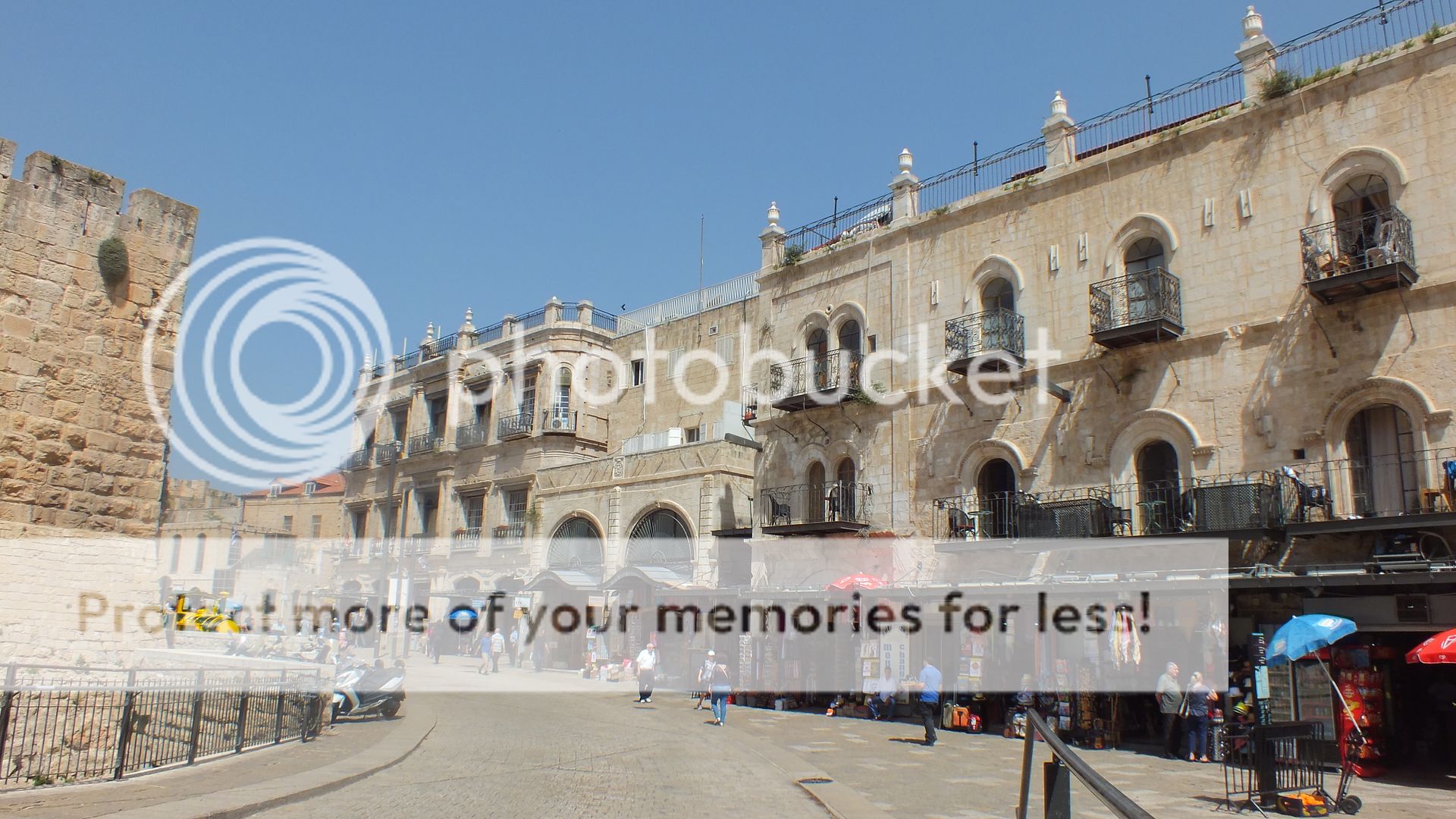
Back over towards the Jaffa Gate, a couple of real old buildings still in use as hotels and such:


Part of the Tower of David (which has nothing to do with King David) is on the right above. When I entered the museum, I found out that 11:00 meant 10:00, I had it wrong, oops! I did get to catch up with the group, so all was not lost. The "Kishle" was a prison used by the British in the early part of the 20th century during their Mandate period, but they did some excavations and found some more 'stuff'. it was sort of interesting, but after you start seeing all this old 'stuff' it gets old, lol. On the way to it, we got up on the walls of the Old city with a view to the west to the New city. The big rectangle building is the King David hotel:


The new police station and jail for the Old City:


Now inside I took a bunch of pictures, but really the most interesting one is the 'graffitti' scratched on one of the cells walls by a Jewish prisoner of the British showing a very crude map of the Mandate of Palestine that the British had control over. Notice that it also includes tha area that is now Jordan:


The story is too long for me to elaborate here, but suffice it to say that at first the British were going to let the Jews return and have their own homeland in their Mandate, then they cut off over half of it for an Arab state. That still wasn't enough for the Arabs, though. Later after leaving the Old City I spyed these guys. Looks like they are getting ready to go for a run with guns?


Looking back towards the Jaffa Gate:


The New gate:


*Wednesday, April 29, 2015. I reserved a car to take another litle drive today since I had been checking the weather and it was going to be very hot today. So a drive in an air conditioned car in the countryside sounded better than tromping (schlepping) around the streets of Jerusalem. My plans were to go towards Sderot just because it gets mentioned in the news some times, then I drove a bit towards the Gaza strip, but didn't get too close. Next was Be'er Sheva and then some country back roads back to Jerusalem. On the way west from Jerusalem, there right off one highway that goes south is the 'Burma Road'. This road was built hastily during the 1948 war as the Arabs had many blockades and ambushes along the main road from Tel Aviv and Jerusalem, effectively cutting the Jews in Jerusalem off from supplies. there is a monument here for all the foriegn volunteers who helped Israel during their war for Independence.:


Nice highways in Israel:


No escaping McDonald's here:


Here's those guys from yesterday, but where's their guns?


This is in Sderot. And it is quite close to the Gaza strip. But I don't see any tanks, nor people shooting each other, or wearing helmets, etc.


A right turn takes one to one of the crossing to Gaza:


Crummy day and picture, but Gaza is way out there in the distance, barly shown in picture:


Ooops, it seems as though I didn't take many pictures of Be'er Sheva, this is the only one:


I went to Be'er Sheva and met a very nice someone there for lunch. Anyways, the Judean hills west of Jerusalem are nice and forested, here's a couple pictures of my drive back:


Old ruins abound:


It looks like Israel has their own Large Satellite Dish Array so to speak (these things are huge):


Traveling back to Jerusalem was interesting, many forested and windy roads, much like in the United States. This might be boring, but what the heck, a couple more:


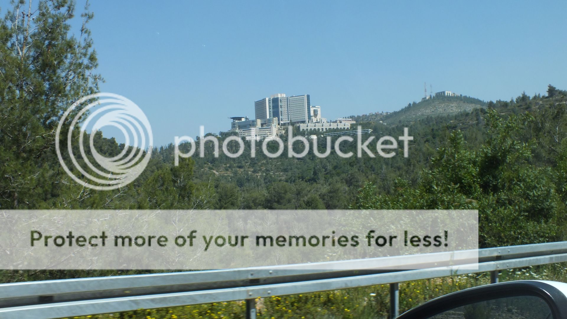
Then on the outskirts of Jerusalem, here's this huge building, forgive me but I do not know what it is, just know that it was BIG:


*Thursday, April 30, 2015. My time was coming near to the end now. I decided to try to take the Jerusalem 99 bus tour. there's a few ways to take it. Hop off and on or just see the highlights of Jerusalem. It starts at the Jerusalem Central Bus station aournd 9AM. I walked up the street from my apartment and took the light rail to the bus station to catch it. However, they were having problems with the tech in the bus, so I was told to come back for the next 'tour' around 11Am. Hmm, now what? I rode the rail back towards the Mechane Yehuda to stroll through the market and ended up trying my hand at some more shashuka:


The stop above is on the 'main' drag through the 'shuk' and right across from King Havala. It ended up being the best shashuka I had in Jerusalem. After eating that nice brunch, I headed back and did catch the Jerusalem 99 bus tour. Here's a few pictures:


The bus runs by the Old City and then up to Mount Scopus where the Hebrew University is (no good pics) and then goes up to the Mount of Olives where one can again get the classic pictures of Jerusalem with the Dome of the Crock in it:


Coming back down and around, it does go by the Damascus gate:


This picture shows part of the older Roman gate:


And further down, it passed by more. More things I need to see the next time, not only the old Roman Gate below the Damascus gate, but this one that leads to some tunnels as well:


The bus cruises around the old city walls, here is the Lion's gate; the entrance to the Via Delorosa I believe:


After doing a fair circle around the Old City and before heading to the south, of course the bus had to go by MY park:


This is a very interesting apartment building:


A couple of views of Jerusalem from a hill to the south:


The Knesset:


The string bridge:


*Friday, May 1, 2015. Pretty much my last full day in Israel, I was to fly out the next day. Ends up I really didn't do much of anything this day as posted in my journal here:


Day twelve 2015 - Jerusalem last day - Israel Forum - TripAdvisor


I did take a pic or two of the terrorist Palestinian Crows that had been attacking me:


*Saturday, May 2, 2015. All about the plane rides(s) back to my side of the world. But it starts here:


Ahh, I could post some very boring pictures I took out of the windows of the various jets on the various flights towards home, but no.


I hope this was enjoyable. And thanks for looking.
 
Wow. :thup:
Hey how much was gasoline over there?

My cousin and his wife travelled to Israel last year and these are way better pictures than anything they showed me.

They did run into Anthony Boudrain though.
 
A remarkable journey, Teddy. You could be a tour guide. Thanks for the photos.
Amen, you are making me miss the motherland! It had been over 3 decades. I have to save up for a visit.


Sent from my iPhone using Tapatalk
 
Wow. :thup:
Hey how much was gasoline over there?

My cousin and his wife travelled to Israel last year and these are way better pictures than anything they showed me.

They did run into Anthony Boudrain though.
Gas is sold by the litre and in shekels. I suppose it was near $6-7/gallon.
 

Forum List

Back
Top