ScienceRocks
Democrat all the way!
- Banned
- #1
Chinese study shows Tibetan glaciers feeding Bhramaputra rapidly shrinking
news
22 May 2014
- See more at: domain-b.com : Chinese study shows Tibetan glaciers feeding Bhramaputra rapidly shrinking
news
22 May 2014
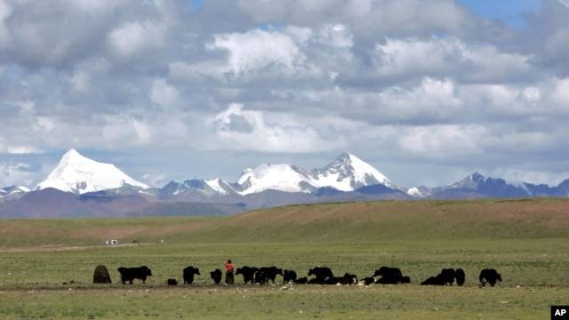
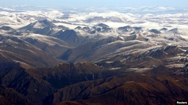
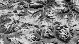
.Glaciers in the Qinghai-Tibet Plateau, the watershed for several Himalayan rivers, have been shrunk by 15 per cent in the past three decades and the situation could worsen in future due to global warming, Chinese scientists said on Wednesday
- See more at: domain-b.com : Chinese study shows Tibetan glaciers feeding Bhramaputra rapidly shrinking