ozro
Diamond Member
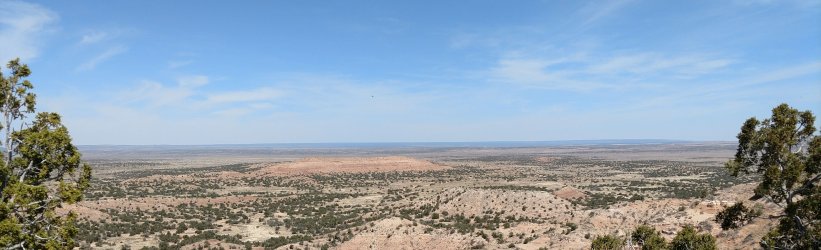
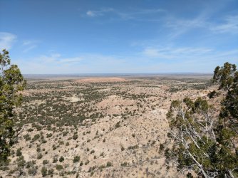
I was out walking along the Pinta Rim day before yesterday and took these pictures. This is about a mile north of my farm. The basin as seen from the top of the rim is purported to be where Chief Manuelito and about 200 Diné people hid out from Kit Carson and the US Army during the winter of 1865-1866. There are artifacts from the period scattered about the basin, although I didn't walk down there this day, I have in the recent past. This area is part of the "Newlands" section of the Navajo Nation. It lies about 25 miles south of Sanders, AZ.
The village of Navajo Springs is 10 miles west of here, and was the first "capitol" of Arizona Territory. This area was also the site of the first helium well in North America, it was capped in 2009.
I am just trying to contribute something different and interesting to the board. I hope you enjoy. Ya'ah'tee y'all!