ScienceRocks
Democrat all the way!
- Banned
- #1
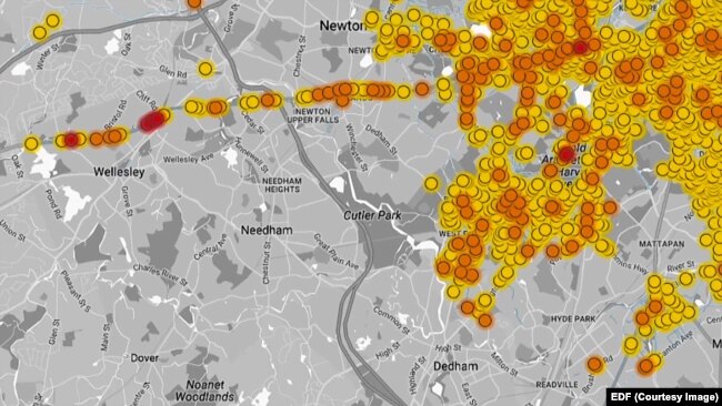
Bridge Out: Study Finds Methane Emissions From Natural Gas Production Higher Than EPA Estimates
Fugitive Methane and New Research | The Energy Collective
If this is so then the left is going to have to accept some FORM OF NUCLEAR. I support wind, solar, wave and hydro-thermal but it isn't going to do it.
Fugitive Methane and New Research | The Energy Collective
A major new study blows up the whole notion of natural gas as a short-term bridge fuel to a carbon-free economy.
Natural gas is mostly methane (CH4), a potent heat-trapping gas. If, as now seems likely, natural gas production systems leak 2.7% (or more), then gas-fired power loses its near-term advantage over coal and becomes more of a gangplank than a bridge. Worse, without a carbon price, some gas displaces renewable energy, further undercutting any benefit it might have had.
Fifteen scientists from some of the leading institutions in the world including Harvard, NOAA and Lawrence Berkeley National Lab have published a seminal study, Anthropogenic emissions of methane in the United States. Crucially, it is based on comprehensive atmospheric methane observations, extensive spatial datasets, and a high-resolution atmospheric transport model, rather than the industry-provided numbers EPA uses.
Indeed, the Proceedings of the National Academy of Sciences study by Scot Miller et al takes the unusual step of explicitly criticizing the EPA:
The US EPA recently decreased its CH4 emission factors for fossil fuel extraction and processing by 2530% (for 19902011), but we find that CH4 data from across North America instead indicate the need for a larger adjustment of the opposite sign.
Doh!
How much larger? The study found greenhouse gas emissions from fossil fuel extraction and processing (i.e., oil and/or natural gas) are likely a factor of two or greater than cited in existing studies. In particular, they concluded, regional methane emissions due to fossil fuel extraction and processing could be 4.9 ± 2.6 times larger than in EDGAR, the most comprehensive global methane inventory.
This suggests the methane leakage rate from natural gas production, which EPA recently decreased to about 1.5%, is in fact 3% or higher.
If this is so then the left is going to have to accept some FORM OF NUCLEAR. I support wind, solar, wave and hydro-thermal but it isn't going to do it.