- Thread starter
- #21
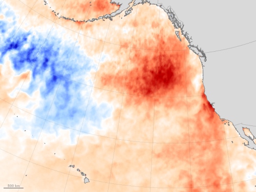
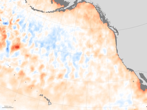
Very nice, Ian. Purposely left out Alaska, didn't you. Now if you included Alaska, that chart would show a definate warming for the last 20 years. The alteration of the jet stream by the open water in the Arctic has created a situation where our East Coast gets cooled, while the West Coast warms. For the lower 48.
the US pristine network doesnt show much warming. anyone wanna fetch the latest data?
Temperature Changes in Alaska | Alaska Climate Research Center

I am more than willing to be shown the location of the CRN graph that includes Alaska and Hawaii. got it for me? no? then quit saying Im hiding something that does not exist, at least not to the best of my knowledge.
how exactly does a graph of the Alaskan region, minus the warm '30s, add to the discussion of the CRN dataset?
who is being misleading here? I think it might be someone with the same initials as the state he lives in.