How the States Got Their Shapes

American Horse

AKA "Mustang"
Jan 23, 2009
5,746
908
153
The Hoosier Heartland
If you've ever wondered how your state got its shape, in this C-Span video Mark Stein talks about his book How States Got Their Shapes (Smithsonian Books/Collins). He explains how American states' borders were drawn and why they have their current shapes.

Topics included the influence of the Erie Canal on the shapes of Indiana, Ohio, Wisconsin, and Minnesota, and the sizes of Texas and California, all the western states, and pretty much all the rest. Very interesting. Following his remarks, Mr. Stein responded to questions from the audience. He is a screenwriter and playwright. He has taught writing and drama at Catholic University and American University.


VIDEO FROM THE C-SPAN LIBRARY - 1-Hour
 
I've long been interested in the shapes of the states. I learned a lot that I was curious about of my own state by reading the history of the Indiana Territory, and how the states within its boundaries were peeled off. In the beginning I was only curious how the state which was the territory's namesake, Indiana, could end up being the smallest of the five. From looking at the original maps I could see the states various permutations, and it appears that we were most fortunate to have forward looking legislators at the time, or Indiana could've been deprived of access to Lake Michigan which completes its as a hub of continental transportation.

Only recently, since the building of the Indiana Toll Road, have we had a governor (Mitch Daniels) who has shown a desire to really take advantage of that potential. The sea port at Gary was made possible by moving the Indiana border 12 miles to the north. It also allowed Indiana to pick up 40 miles of shoreline on Lake Michigan, completing a land connection between the Ohio River in the south to Lake Michigan in the north. when Michigan Territory lost that approximaely 1200 square miles.

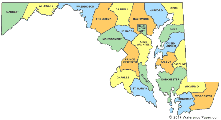
Since many of Indiana pioneers and first families came from Maryland (and N.C.) I was curious about MD, particularly the Maryland panhandle to the west and its topography. The link between the main part of that state and the panhandle narrows down to a section only about a couple of miles wide. The determinent to that panhandle section being a part of Maryland had to be terrain and ease of transportation east and west more than anything else. The National Highway (US 40) was built from east to west through mountain passes coming through there, eventually connecting our own state in the early years of the nineteenth century to the east coast, and all the migration that would come with it.
 
Last edited:
The single most bizarre shaped state is Maryland.

maryland-county-map.gif


Who thought of this? Is it all the counties that Pennsylvania, New Jersey and Virginia didn't want?
 
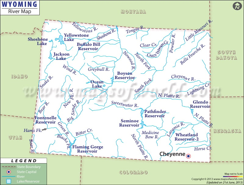
The award for the most unimaginative state shape is a tie between Colorado and Wyoming.

I also get the feeling that after they past the Mississippi, the state shapers got tired and said "fuck it, make 'em all square and be done with it".
 
Last edited:
I like the story about how MO got its boot heel. Apparently a rich guy who lived in the area preferred to be part of the new state of MO with the important port of St.Louis rather than be part of the Arkansas territory. He used his money and influence in Congress to get the boundary changed.
 
The single most bizarre shaped state is Maryland.

maryland-county-map.gif


Who thought of this? Is it all the counties that Pennsylvania, New Jersey and Virginia didn't want?

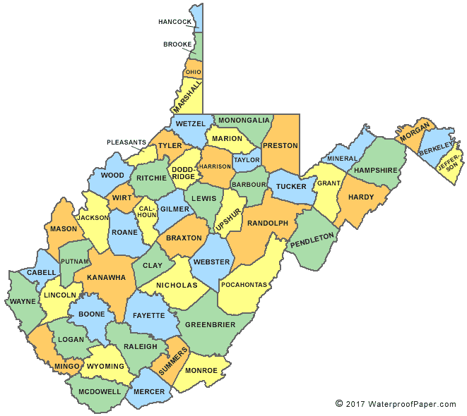
It was founded on a royal charter like most of the others. It got its final shape when the Mason-Dixon line was surveyed to end land squabbles between the colonies and MD simply became the land between it and the Potomac River out to where VA began, now WV.
 

Forum List

Back
Top